
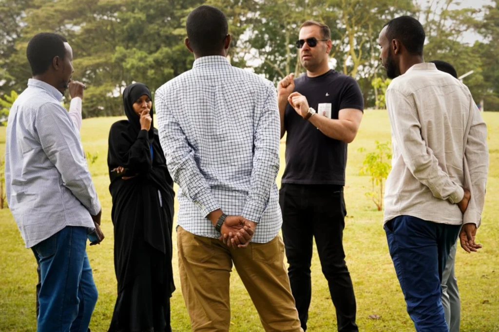
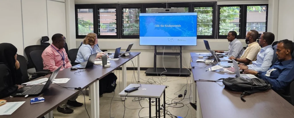
Senior Research Fellow Dr Sarchil Qader and GIS Technician Amy Bonnie recently ran an intensive 8-day Training the Trainers workshop in Nairobi, Kenya to help enhance the geospatial capacity of the Somalia National Bureau of Statistics (SNBS) and United Nations Population Fund (UNFPA) Somalia country office. Run as a key part of our “Generation of Socio-Demographic Data for Evidence-Based Programming in South-Central Somalia” project, the workshop set out to train statisticians to use cutting edge tools and techniques in preparation for the upcoming Somalian national census.
The last successful Somali census was undertaken 50 years ago, with only limited results published, and this workshop was an excellent opportunity to share our experiences from other countries and collaborate on developing an approach tailored to conditions unique to Somalia. The country’s diverse landscape poses distinct challenges for population data collection, with the population categorized as urban, rural, nomadic, and internally displaced. For the first time at this scale, this project uses our new tools and technologies to automatically delineate pre-census Enumeration Areas (preEAs) and Enumeration Effort Metrics to identify hard-to-enumerate areas in five districts: Dhusamareeb, Baidoa, Kaxda, Belet Weyne, and Kismayo.
Following the training, the SNBS team are now able to use the tools independently and train their colleagues in Somalia, enabling them to complete this work considerably more efficiently and accurately than in the past.
We were pleased to receive positive feedback from the SNBS and UNFPA teams, who highlighted how the workshop will assist them in developing a broader strategy for the upcoming census.
Once the preEA boundaries are finalized, the selected five districts will be fully enumerated, but only if security conditions permit. If areas continue to remain inaccessible, WorldPop will assist SNBS and UNFPA to co-develop a geospatial methodology to model the population in these areas. This will involve using data collected in the districts, machine learning techniques, and derivative datasets from satellite imagery.
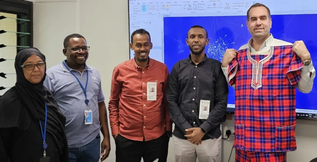
We deeply appreciate the thoughtful gifts from our UNFPA colleagues. Their kindness truly meant a lot to us.
Our thanks also go to our funder (the Gates Foundation) and UNFPA colleagues for organizing the workshop and hosting us. A special thanks to the SNBS team for their dedication, especially considering the challenges of receiving such intensive training while fasting. We appreciate the continued support from our project partners, including the UK Office for National Statistics, Foreign, Commonwealth and Development Office, and World Health Organization GIS Center.
See also
Generation of socio-demographic data for evidence-based programming in South-Central Somalia