Estimating population numbers affected by natural disasters
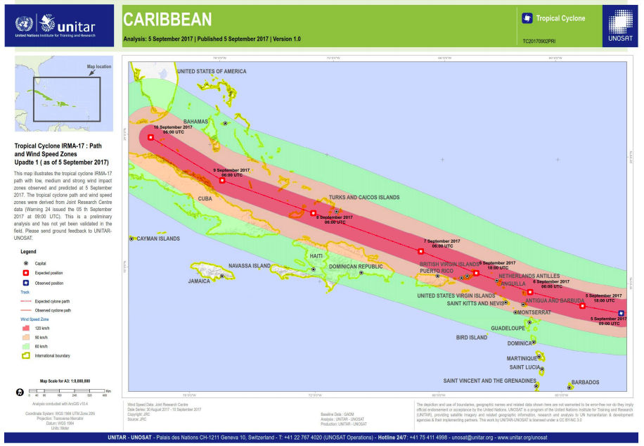
In natural disaster situations, there is a need to rapidly and accurately estimate the numbers of people likely to be affected in order to ascertain the scale of the event and relief needed. Previously this has often been undertaken using coarse-scale population data, summarised at administrative unit levels. However, natural disasters such as floods, earthquakes and hurricanes typically hit hardest in defined areas that do not align with administrative unit boundaries. Advances in hurricane modelling precision, flood mapping and earthquake impacts, mean that the extent of a disaster can be mapped more accurately than ever before. These extents can then be overlaid with WorldPop gridded population datasets to assess numbers of people, and their characteristics such as age, sex, poverty rate, affected by the disaster to give more precise estimates than using coarse population data.
UNITAR-UNOSAT now regularly make use of WorldPop data to assess numbers affected when a disaster is imminent or has occurred, while UN-OCHA utilise WorldPop datasets in their Humanitarian Needs Overviews. WorldPop is also a close collaborator with UN-OCHA as part of their Humanitarian Data Exchange (HDx) web portal, with a dedicated page to make WorldPop datasets and administrative unit level summaries rapidly and widely available.


