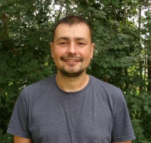
Dr Alexey Noskov
 Alexey joined WorldPop in 2024 as a Research Fellow specializing in image analysis and Artificial Intelligence. He works across diverse data sources and crafts intelligent algorithms aimed at extracting pertinent information crucial for modelling from multi-source imagery.
Before joining WorldPop Alexey during his tenure at the University of Twente in the Netherlands he focused on resampling large-scale land surface temperature imagery data with the objective of identifying geothermal sources. This effort resulted in the enhancement of time series data through improved spatial resolution.
Prior to his work in the Netherlands, Alexey served as a Postdoctoral Researcher at the Laboratory for Climatology and Remote Sensing at Philipps University of Marburg in Germany. He made significant contributions to the Natur 4.0 project and notable achievements included advancements in 3D forest mapping, the development of a pioneering statistical approach for tree phenology modelling, and leading the innovation of an autonomous multi-sensor rover and short-range insect radar. Additionally, Alexey played a pivotal role in the design and implementation of an autonomous sensor rover (UGV) for comprehensive ecological monitoring.
At the University of Heidelberg in Germany, Alexey specialized in Volunteered Geographic Information (VGI). His work involved the creation of an advanced database structure for processing OpenStreetMap data and the development of a novel framework for assessing data quality. These endeavours were integral to the European Union’s Horizon 2020 WeGovNow project.
Alexey earned his PhD from the Technion Israel Institute of Technology, where his research focused on developing algorithms for 3D urban environment generalization. The practical applications of his findings were subsequently implemented by the Survey of Israel.
In earlier research conducted at Moscow University, Alexey concentrated on Arctic coastal and bottom dynamics. His work included active participation in Arctic expeditions and the development of GIS systems.


