
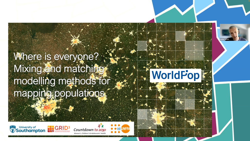
At last month’s Geopalooza 3.0 virtual symposium our Director, Professor Andy Tatem, spoke about our population modelling work with agencies in low- and middle-income countries. In his talk entitled, Where is everyone? Mixing and matching modelling methods for mapping populations, he called for greater emphasis on co-development with stakeholders to ensure that health, development, and disaster response needs are met, methods are understood, and the data are accepted and used by governments.
Professor Tatem gave an overview of our work, including activities within GRID3 and Countdown to 2030, and collaborations with UNFPA and many in-country partners. In this talk he addressed questions on why population data is needed, who needs the data and what for, what population modelling enables countries and agencies to do, and the online and in-country training we provide to support agencies to better adapt to the variety of needs, data and changing situations they face. He reviewed the stages of the census cycle and the work WorldPop does to support national statistics offices, ministries of health and others with enumeration, population projections and mapping.
How we work with experts in-country has a big impact on the acceptance of the often complex models used to estimate and predict population changes. Professor Tatem noted that in these circumstances a one-size-fits-all model is often not the most appropriate.

Training links
- Small area population estimates using random forest top-down disaggregation: An R tutorial
- Small area population estimates
- Statistical population modelling for census support
References
- Wardrop, N. A., et al. (2018) Spatially disaggregated population estimates in the absence of national population and housing census data. Proceedings of the National Academy of Sciences
- WorldPop Open Population Repository
- Gridded population estimates for Ukraine using UN COD-PS estimates 2020, version 2.0
- Dooley et al (2021) South Sudan 2020 gridded population estimates from census projections adjusted for displacement, version 2.0.
- Leasure, Douglas R., et al. (2020) National population mapping from sparse survey data: A hierarchical Bayesian modeling framework to account for uncertainty. Proceedings of the National Academy of Sciences
- WorldPop Open Population Repository (Nigeria)
- Boo, G., et al. (2022) High-resolution population estimation using household survey data and building footprints. Nature Communications
- WorldPop Open Population Repository (Democratic Republic of the Congo)
- WorldPop and INSTAT (Mali) (2022)
- Darin, Edith, et al. (2022) The Population Seen from Space: When Satellite Images Come to the Rescue of the Census. Population
- Sanchez-Cespedes, Lina Maria, et al. (2023) Social cartography and satellite-derived building coverage for post-census population estimates in difficult-to-access regions of Colombia. Population Studies
- Benin adopts WorldPop’s ‘preEA’ tool to conduct its first modern, digitised census. WorldPop (2023)
- S. Sudan population is 12.4 million – govt estimates. Eye Radio, South Sudan
- Sierra Leone government uses GRID3 insights for new school infrastructure and catchment area planning policy. GRID3.
- DHIS2 Documentation
- Mapping Afghanistan’s population. WorldPop.
Background information
Geopalooza 3.0 was organised by the Bill and Melinda Gates Foundation’s Geospatial Insights Support Team (GIST) with the aim of raising the profile of GIS in global health and development, highlight innovative geospatial research and tools and celebrate geospatial contributions around the globe. Zoom link.